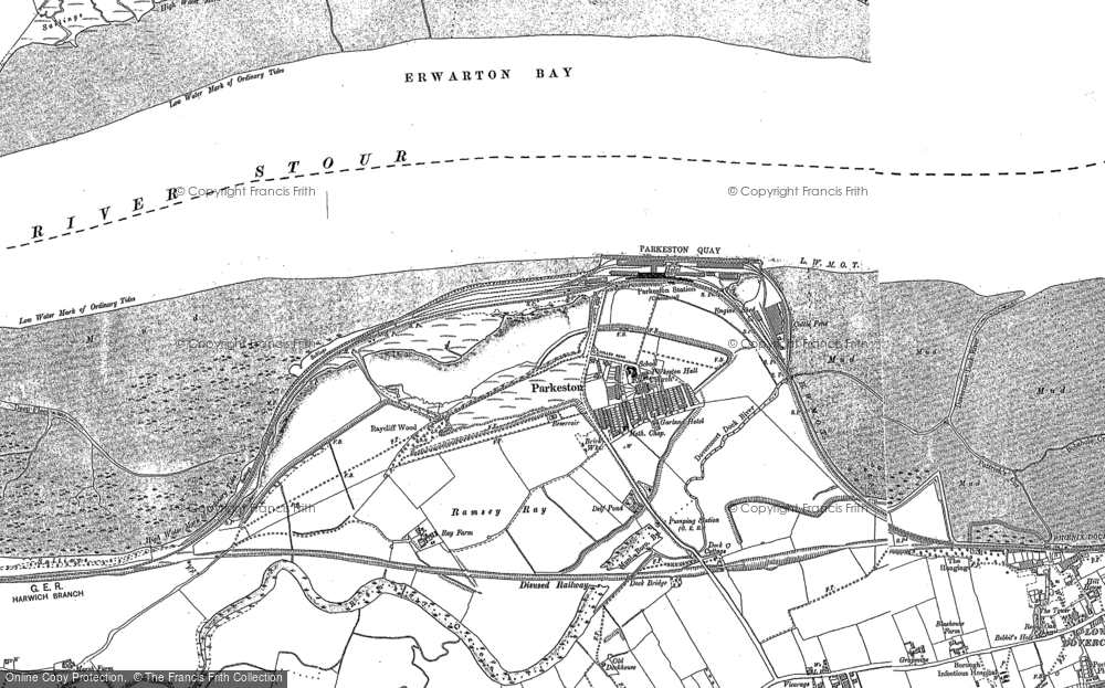
It is clear to see from Google Satellite view that the Harwich Town branch line deviates from a now disused alignment to serve Harwich International.
What is the chronology of this change of routing?
When was the last passenger service to use the direct route to Harwich Town?
Was it the Port/Ferry/Train operator who wanted/paid for the diversion?
What is the chronology of this change of routing?
When was the last passenger service to use the direct route to Harwich Town?
Was it the Port/Ferry/Train operator who wanted/paid for the diversion?
")