Hi,
I've been advised by the moderators to start a new thread and link my previous post on the SWML landslip thread (https://www.railforums.co.uk/threads/another-landslip-on-the-swml-01-12-23.258623/) to it.
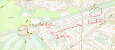
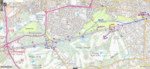
The railway goes through a very deep cutting where the landslip is, up to the road bridge St Johns Hill Road, but westwards after that, the cutting becomes less shallow (even getting to line-level on the North side) before it rises again to the footbridge. From there, within a couple of hundred yards (further west) the railway is on embankment for about 4 miles until Deepcut ranges, where again, cuttings are deep. The soil in this area is heavy clay with many mature trees, including maple. I'll comment on my known history of the road bridge and landslip in the other thread and use this thread for the footbridge. I've just been there and apart from closure, there is no change as of today (miserable damp day), but both westward lines are closed as they are working on the embankment (photos on that thread soon), with a speed restriction on both lines London-bound (usually it's 80mph).
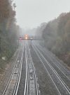
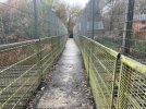
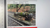
Below are some photos I've just taken but it's very difficult to get a clear shot due to the thick woodland (holly hurts!).
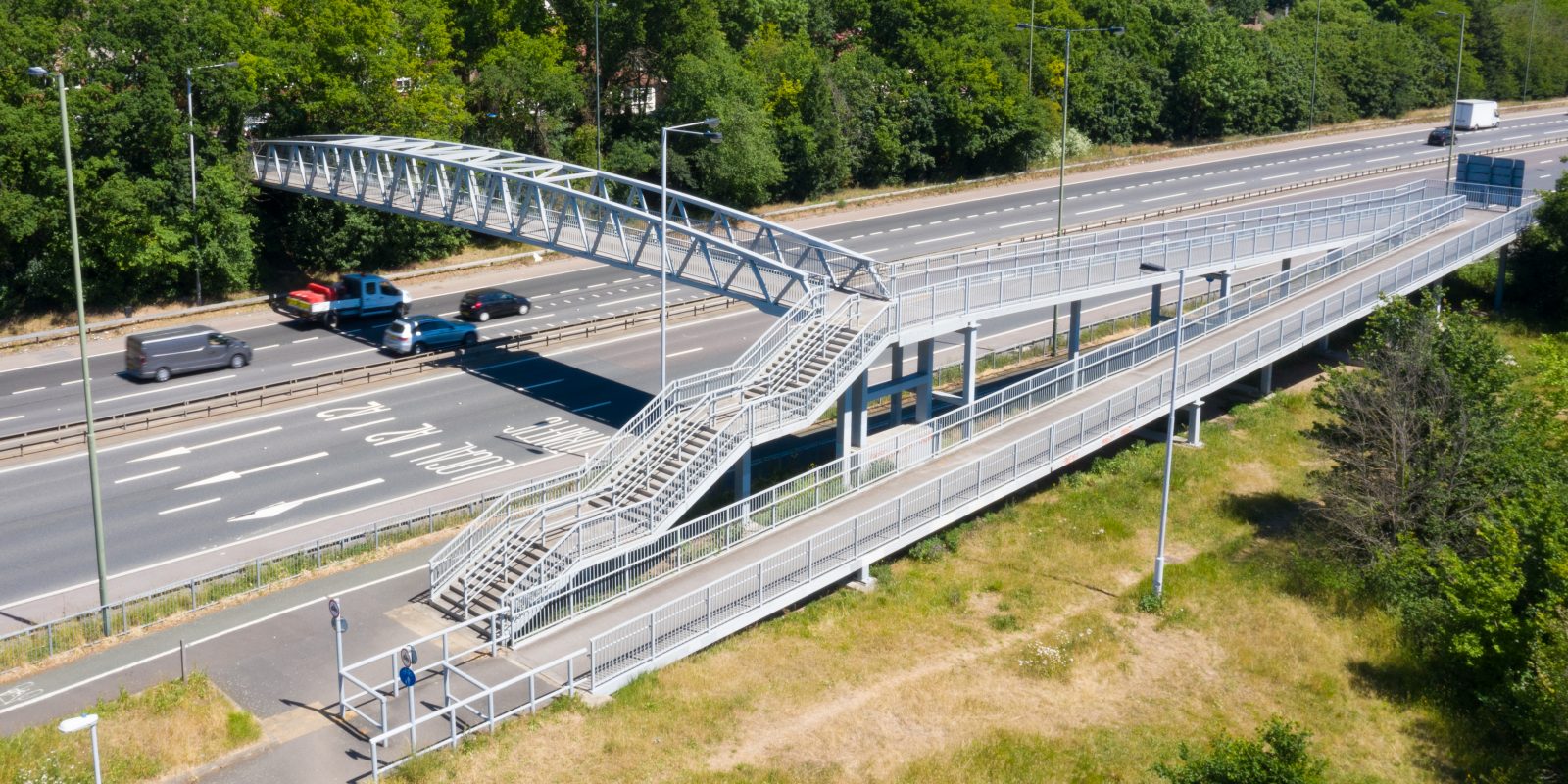
I've known the bridge since about 1990, when it only had 4 foot high railings - excellent for photographs - but some extra height was added in 1997(?) after the sad death of a van driver on the M3 near Bagshot where someone threw a lump of concrete off a similar bridge - the St Johns bridge was identified as a similar risk. Still, it was great for children and played a huge part in my son joining Network Rail!
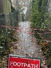
It closed again in 2004(?) when the walkway itself was deemed unsafe and there was a huge uproar when there was a suggestion it would be closed permanently. It is a well-used path enabling residents of Hook Heath to reach St Johns safely, and many teenagers use it as a route to the nearby Winston Churchill Comprehensive school. It re-opened in 2005, and I even found a link here about it (https://footpath102.blogspot.com/). MPs can do good sometimes.
Judging by my photos (and I'm no engineer), the middle support has moved in the last week, which because of the clay and recent wet weather (drainage is a problem in this section), the recent cold snap may well have been the final straw. I would doubt if any work can be done for removal and replacement except from the line itself, so I'm guessing after removal, a pre-fabricated replacement will need to be planned for, along the same lines as one replaced in the Gomshall area 2-3 years ago. It's certainly going to be a (temporary) loss to the area.
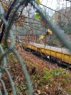
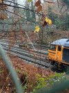
So here are today's photos. The ones of the bridge (with the moving ballast train travelling towards London) are taken from the Northern side, about 50 yards west from the bridge
Enjoy
I've been advised by the moderators to start a new thread and link my previous post on the SWML landslip thread (https://www.railforums.co.uk/threads/another-landslip-on-the-swml-01-12-23.258623/) to it.

The railway goes through a very deep cutting where the landslip is, up to the road bridge St Johns Hill Road, but westwards after that, the cutting becomes less shallow (even getting to line-level on the North side) before it rises again to the footbridge. From there, within a couple of hundred yards (further west) the railway is on embankment for about 4 miles until Deepcut ranges, where again, cuttings are deep. The soil in this area is heavy clay with many mature trees, including maple. I'll comment on my known history of the road bridge and landslip in the other thread and use this thread for the footbridge. I've just been there and apart from closure, there is no change as of today (miserable damp day), but both westward lines are closed as they are working on the embankment (photos on that thread soon), with a speed restriction on both lines London-bound (usually it's 80mph).
Below are some photos I've just taken but it's very difficult to get a clear shot due to the thick woodland (holly hurts!).
I've known the bridge since about 1990, when it only had 4 foot high railings - excellent for photographs - but some extra height was added in 1997(?) after the sad death of a van driver on the M3 near Bagshot where someone threw a lump of concrete off a similar bridge - the St Johns bridge was identified as a similar risk. Still, it was great for children and played a huge part in my son joining Network Rail!
It closed again in 2004(?) when the walkway itself was deemed unsafe and there was a huge uproar when there was a suggestion it would be closed permanently. It is a well-used path enabling residents of Hook Heath to reach St Johns safely, and many teenagers use it as a route to the nearby Winston Churchill Comprehensive school. It re-opened in 2005, and I even found a link here about it (https://footpath102.blogspot.com/). MPs can do good sometimes.
Judging by my photos (and I'm no engineer), the middle support has moved in the last week, which because of the clay and recent wet weather (drainage is a problem in this section), the recent cold snap may well have been the final straw. I would doubt if any work can be done for removal and replacement except from the line itself, so I'm guessing after removal, a pre-fabricated replacement will need to be planned for, along the same lines as one replaced in the Gomshall area 2-3 years ago. It's certainly going to be a (temporary) loss to the area.
So here are today's photos. The ones of the bridge (with the moving ballast train travelling towards London) are taken from the Northern side, about 50 yards west from the bridge
Enjoy
Attachments
Last edited:

