Egg Centric
Established Member
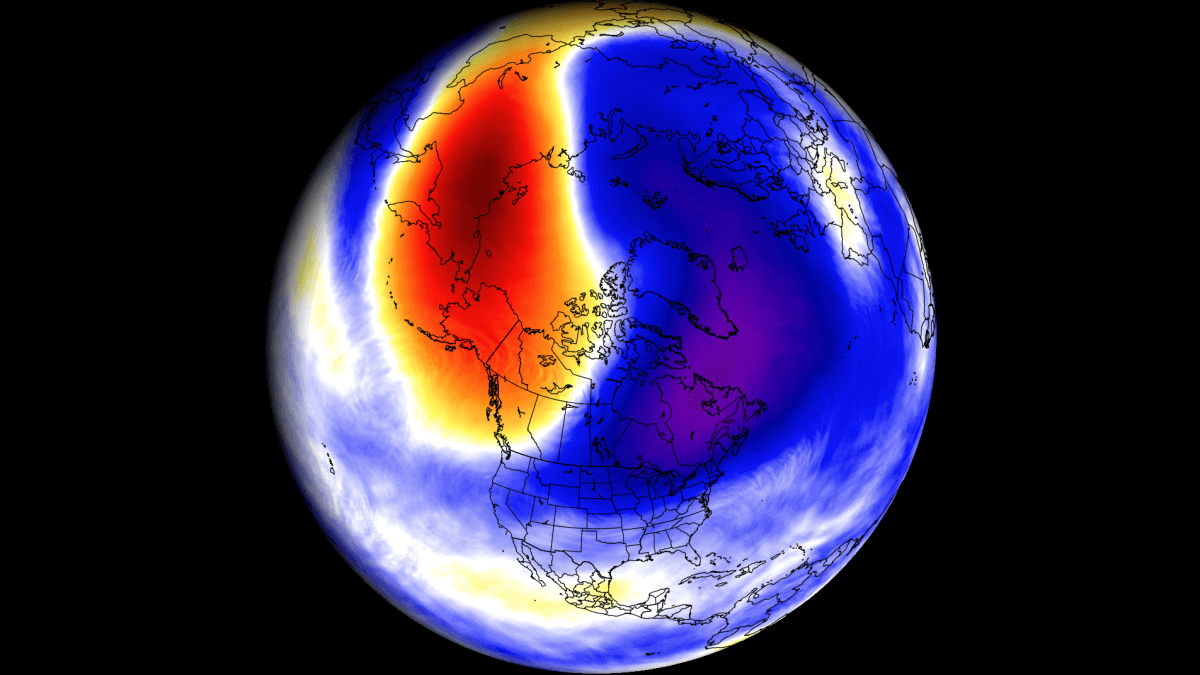
Here's a weird one - there's currently a tropical storm forming in the mid atlantic. Goes by the name of Leslie.
But some models are predicting that there's a chance it hits southern UK - as a cat 2 hurricaine!
You can view the predictions of those models here
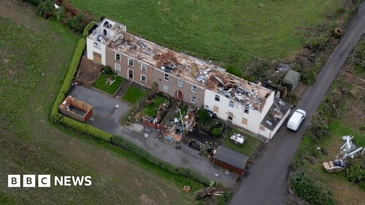
Now I don't know anything about weather, but common sense tells me that while hurricanes aren't completely unknown in UK, this is probably not going to happen. Still, it's fun to think about what it will do to the GWML wiring in particular (given the location) and is maybe one that's worth keeping an eye on for the next few days.
But some models are predicting that there's a chance it hits southern UK - as a cat 2 hurricaine!
You can view the predictions of those models here
Now I don't know anything about weather, but common sense tells me that while hurricanes aren't completely unknown in UK, this is probably not going to happen. Still, it's fun to think about what it will do to the GWML wiring in particular (given the location) and is maybe one that's worth keeping an eye on for the next few days.