Peter Sarf
Established Member
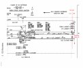
I could guess that the pair of Central to/from Queen Street lines are by directional - is that so ?.
I so I can believe that the Southerm most line (normally Queen Street to Central) is now being used as that probably does not rely on the last beam that seems to lean over.
I so I can believe that the Southerm most line (normally Queen Street to Central) is now being used as that probably does not rely on the last beam that seems to lean over.